

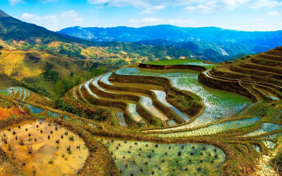
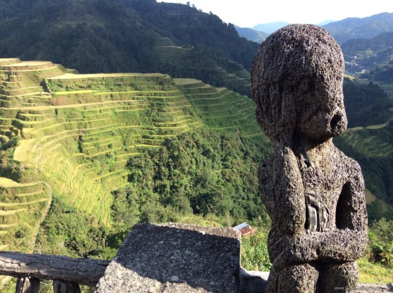
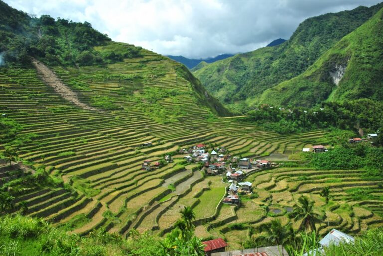
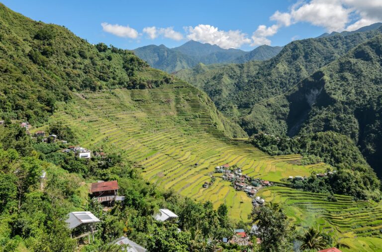
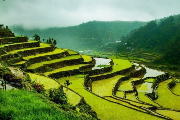
1. Banaue Rice Terraces
The Banaue Rice Terraces were carved into the mountains of Banaue, Ifugao, in the Philippines, by the ancestors of the Igorot people. The terraces are occasionally called the "Eighth Wonder of the World". It is commonly thought that the terraces were built with minimal equipment, largely by hand. The terraces are located approximately 1,500 metres (4,900 feet) above sea level. These are fed by an ancient irrigation system from the rainforests above the terraces. It is said that if the steps were put end to end, it would encircle half of the globe.

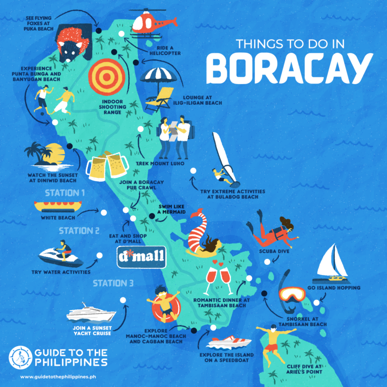
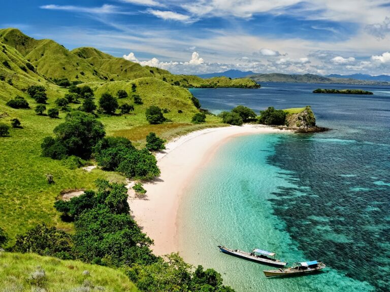
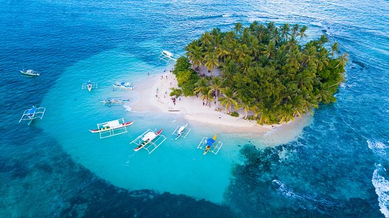
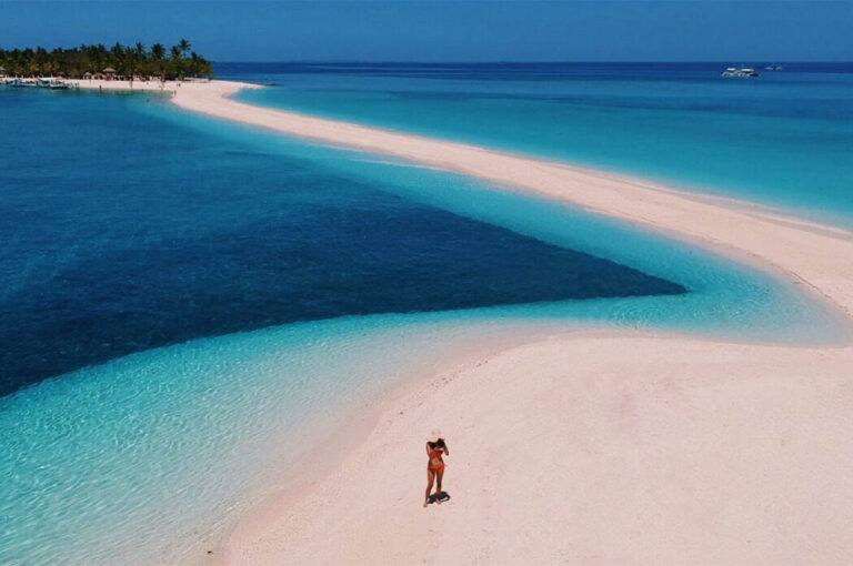
2. Boracay
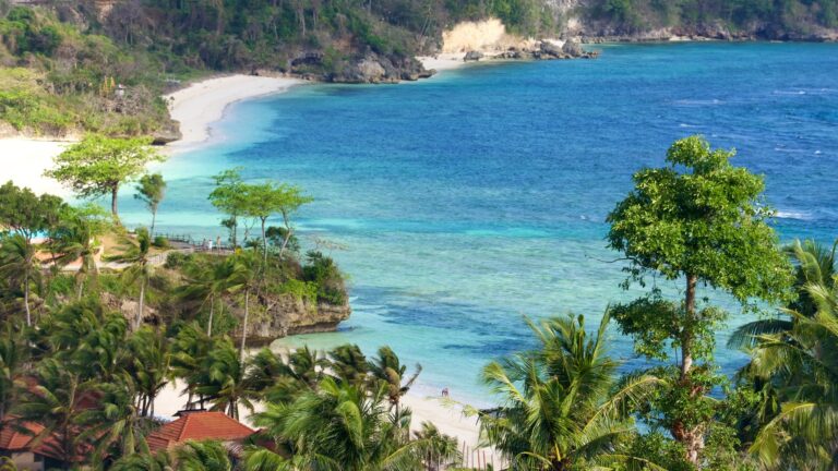
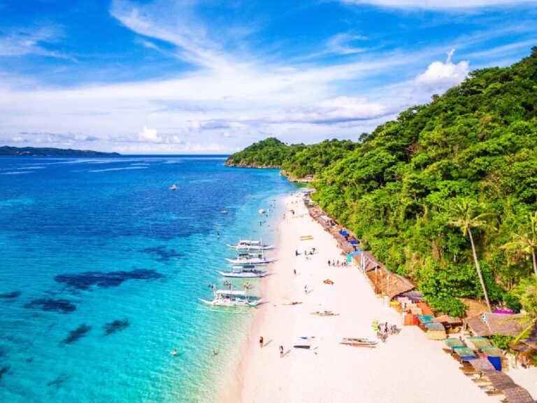
Boracay is a resort island in the Western Visayas region of the Philippines. It lies 0.8 kilometers (0.50 mi) off the northwest coast of Panay. Having a total area of 10.32 square kilometers (3.98 sq mi), it is under the jurisdiction of three barangays in Malay, Aklan, which in 2015, had a population of 32,267. The island was administered by the Boracay Inter-agency Task Force during its six-month-long closure in 2018. Boracay island from space Apart from its white sand beaches, Boracay is also famous for being one of the world's top destinations for relaxation. As of 2013, it was emerging among the top destinations for tranquility and nightlife.


3. Chocolate Hills
The Chocolate Hills are a geological formation in the Bohol province of the Philippines. There are at least 1,260 hills but there may be as many as 1,776 hills spread over an area of more than 50 square kilometers (20 sq mi). They are covered in green grass that turns brown during the dry season, hence the name. The Chocolate Hills is a famous tourist attraction of Bohol. They are featured in the provincial flag and seal to symbolize the abundance of natural attractions in the province. They are in the Philippine Tourism Authority's list of tourist destinations in the Philippines; they have been declared the country's third National Geological Monument and proposed for inclusion in the UNESCO World Heritage List.

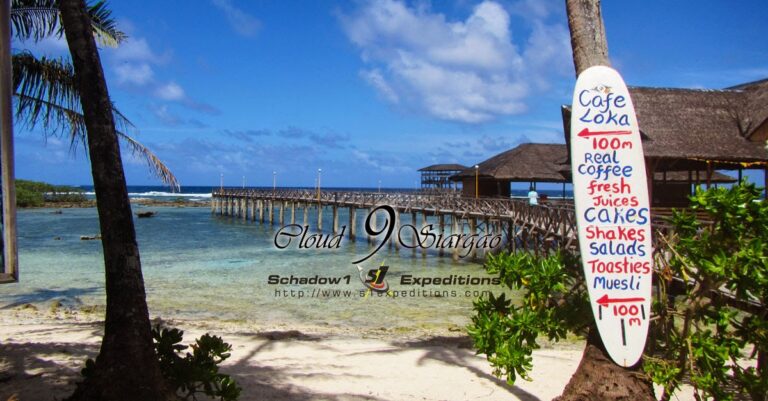
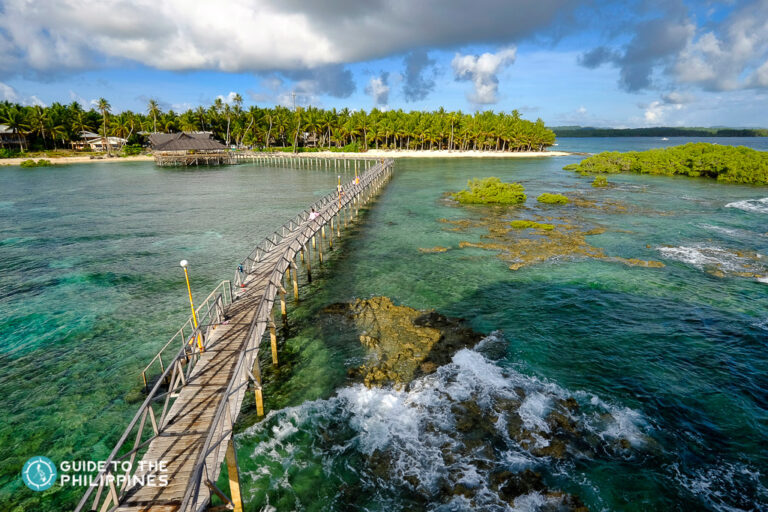
4. Cloud 9, Siargao
Siargao is a tear-drop shaped island in the Philippine Sea situated 196 kilometers southeast of Tacloban. It has a land area of approximately 437 square kilometres (169 sq mi). The east coast is relatively straight with one deep inlet, Port Pilar. The coastline is marked by a succession of reefs, small points and white, sandy beaches. The neighboring islands and islets have similar landforms. The island is within the jurisdiction of the province of Surigao del Norte and is composed of the municipalities of Burgos, Dapa, Del Carmen, General Luna, San Benito, Pilar, San Isidro, Santa Monica and Socorro, although Socorro Municipality actually comprises Bucas Grande Island to the south of Siargao Island itself.


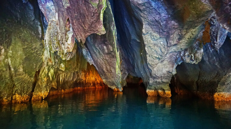
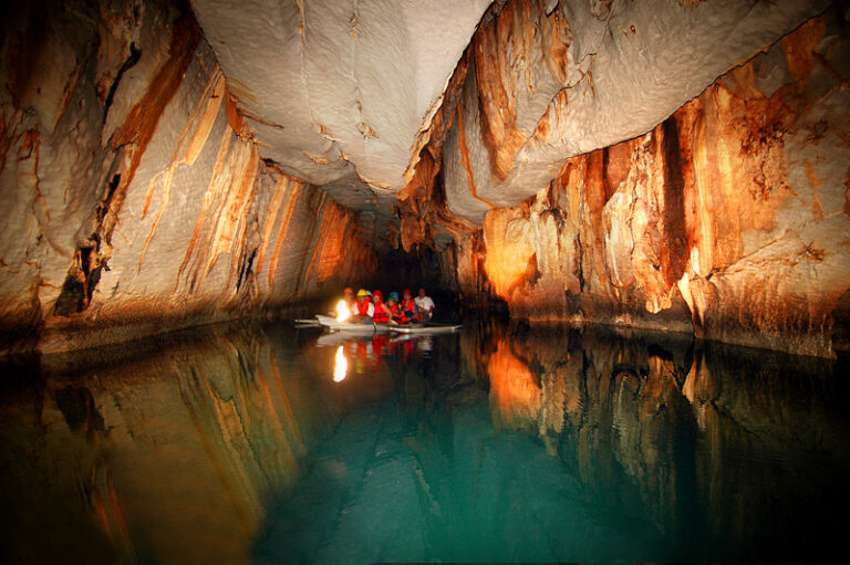
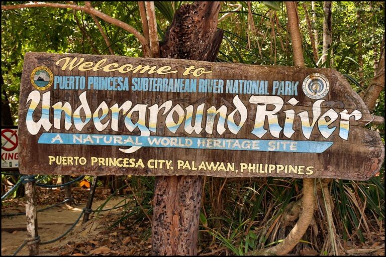
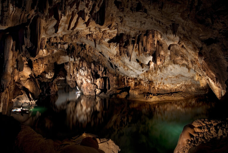
5. Puerto Princesa Underground River
The Puerto Princesa Subterranean River National Park is a protected area in the Philippines. The park is located in the Saint Paul Mountain Range on the western coast of the island of Palawan, about 80 kilometers (50 mi) north of the city of Puerto Princesa, and contains the Puerto Princesa Subterranean River (also known as the Puerto Princesa Underground River). It has been managed by the Puerto Princesa city government since 1992. It was listed as a UNESCO World Heritage Site in 1999, and voted as a New7Wonders of Nature in 2012. It also became a Ramsar Wetland Site in 2012.

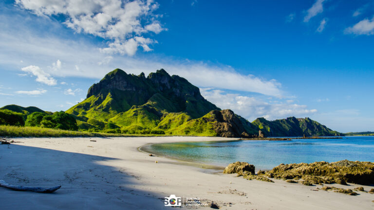
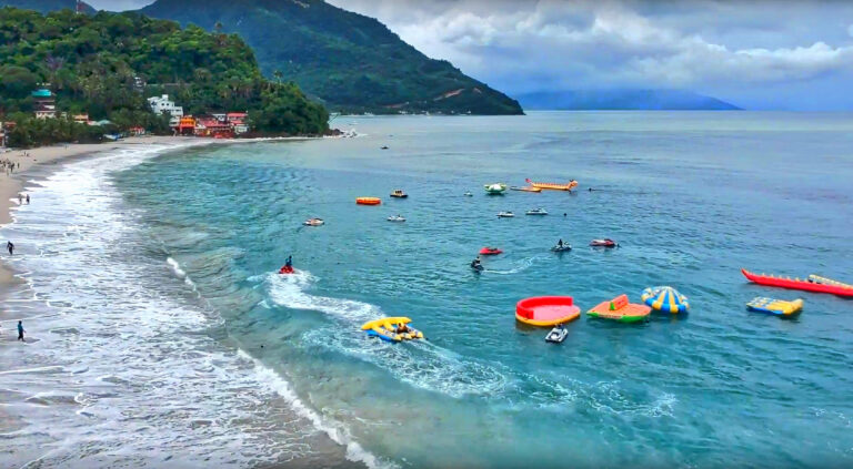
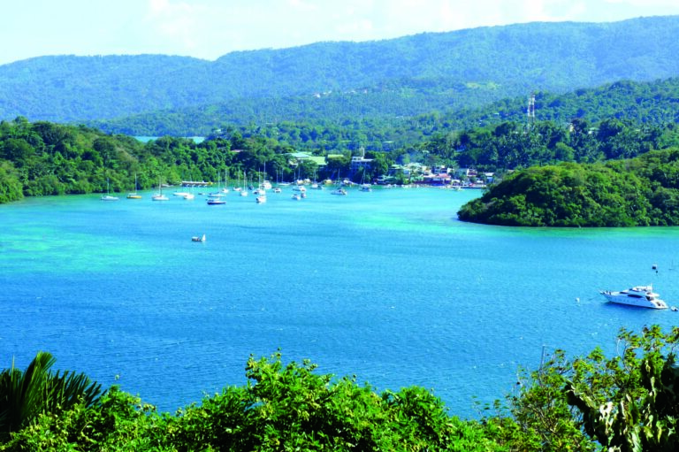
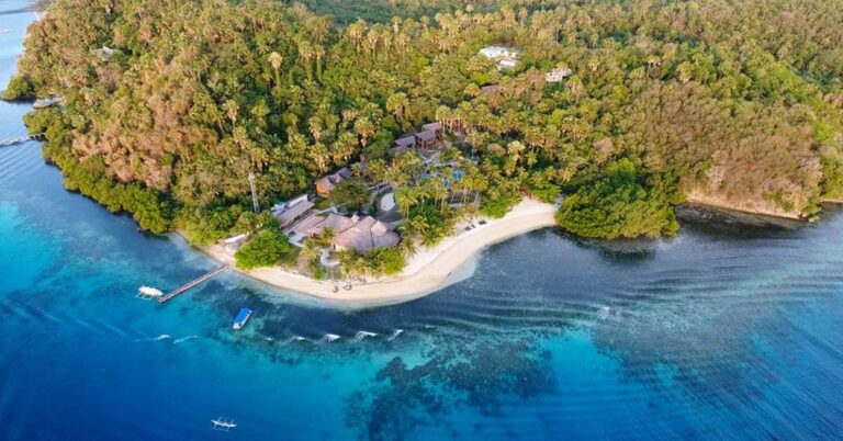
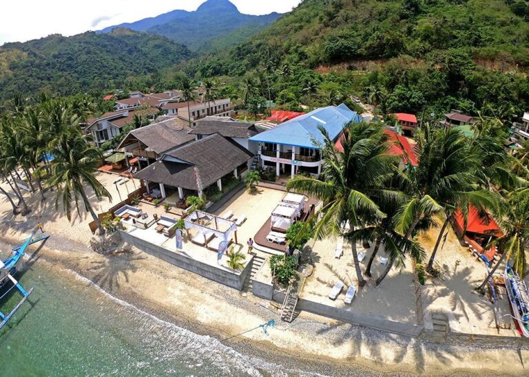
6. Puerto Galera
Puerto Galera, officially the Municipality of Puerto Galera (Tagalog: Bayan ng Puerto Galera), is a 1st class municipality in the province of Oriental Mindoro, Philippines. According to the 2020 census, it has a population of 41,961 people. It is mainly accessible from the Southern Luzon gateway port of Batangas by bamboo boats (bangka) operated by local regular operators. Seaplane Operator Air Juan Aviation, Inc. flies two daily flights from Manila to Puerto Galera on their Cessna Grand Caravan Seaplanes.
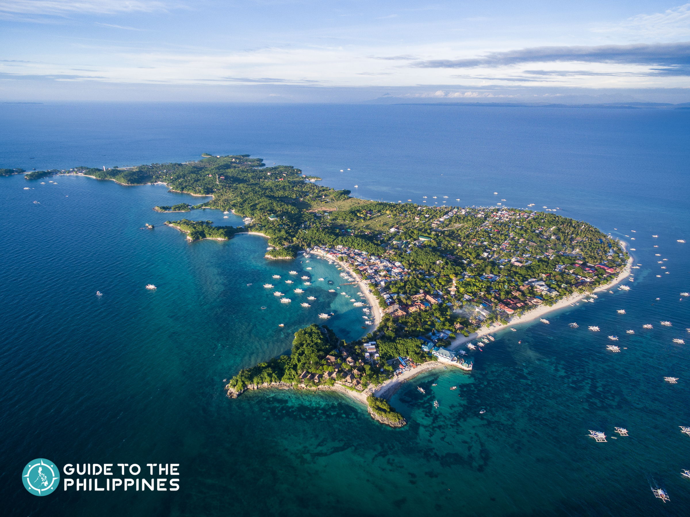
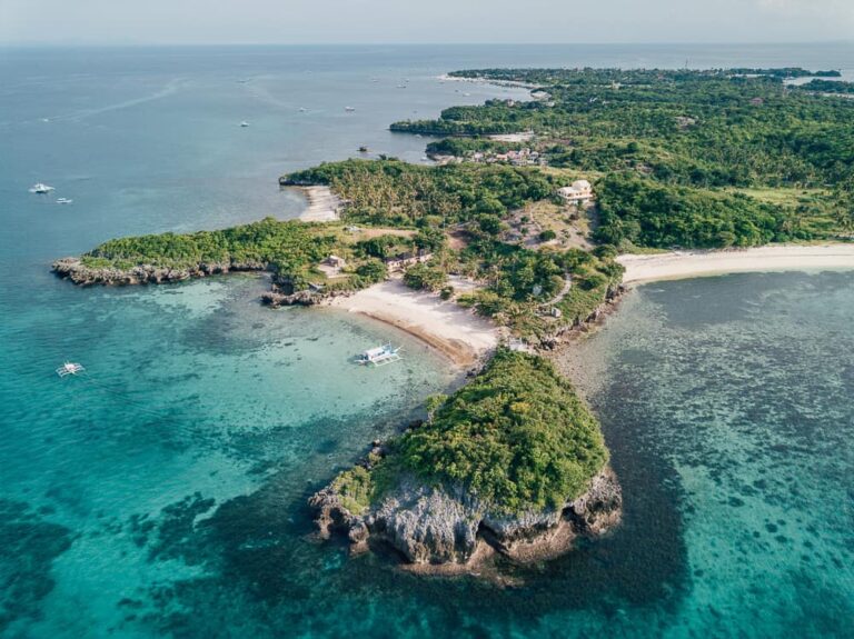
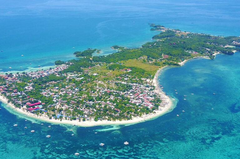
7. Malapascua Island
Malapascua is a Philippine island situated in the Visayan Sea, 6.8 kilometres (4.2 mi) across a shallow strait from the northernmost tip of Cebu Island. Administratively, it is part of the peninsular barangay of Logon, Daanbantayan, Cebu. Malapascua is a small island, only about 2.5 by 1 kilometre (1.55 by 0.62 mi), and has eight hamlets.

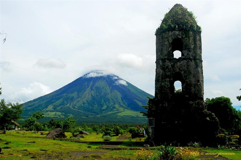
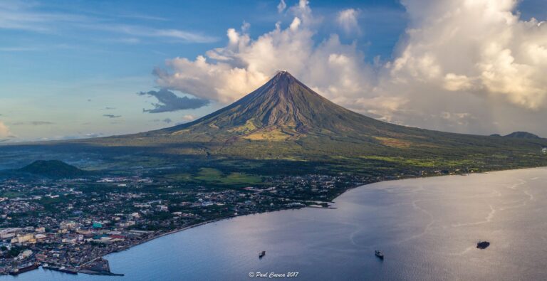
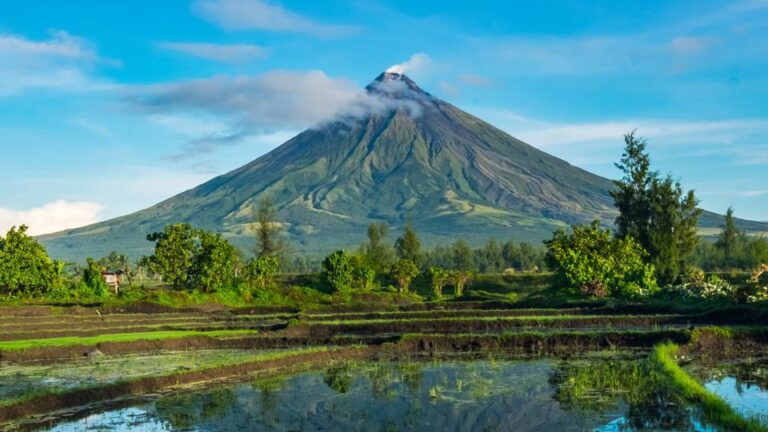
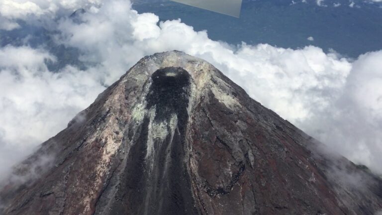
8. Mayon Volcano
Mayon is an active stratovolcano in the province of Albay in Bicol Region, on the island of Luzon in the Philippines. A popular tourist spot, it is renowned for its "perfect cone" because of its symmetric conical shape, and is regarded as very sacred in Philippine mythology. The volcano with its surrounding landscape was declared a national park on July 20, 1938, the first in the nation. It was reclassified as a natural park and renamed the Mayon Volcano Natural Park in 2000. It is the centerpiece of the Albay Biosphere Reserve, declared by UNESCO in 2016, and is currently being nominated as a World Heritage Site.
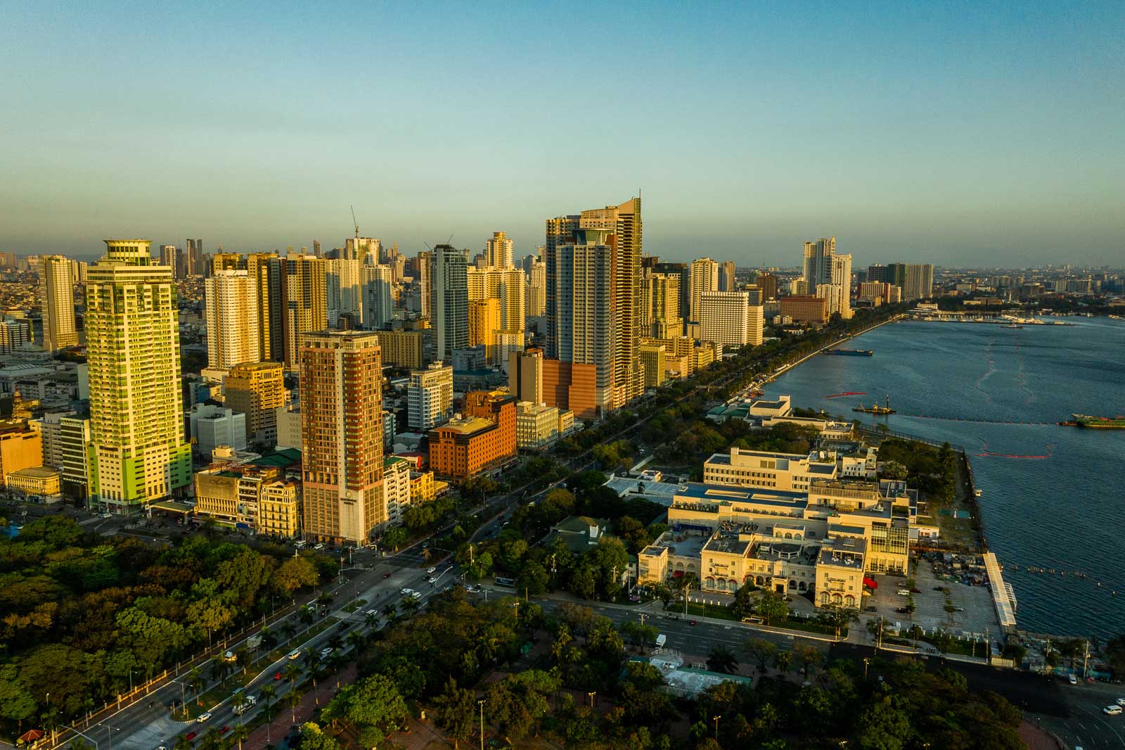
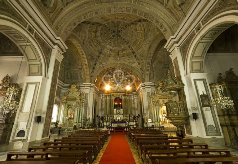
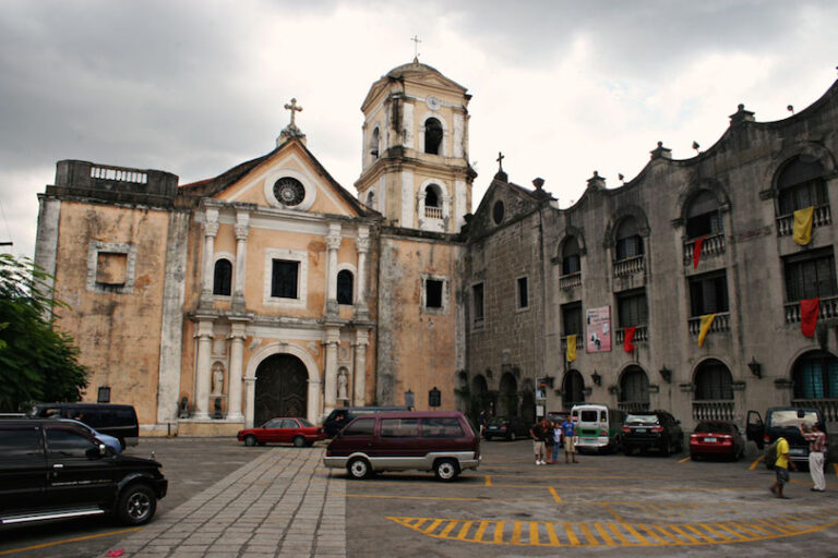
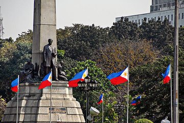
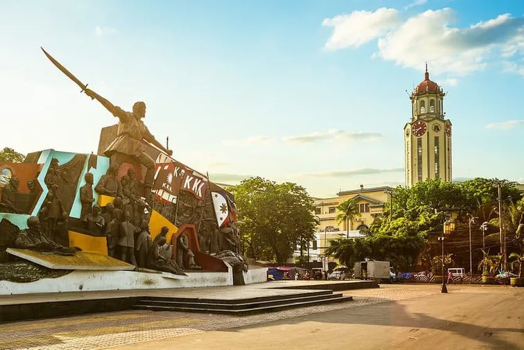
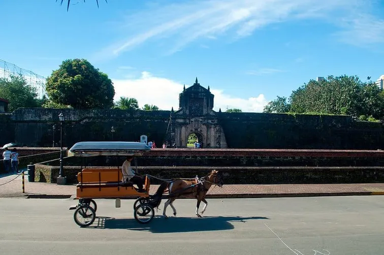
9. Manila
Manila officially the City of Manila is the capital of the Philippines, and its second-most populous city. It is highly urbanized and as of 2019 was the world's most densely populated city proper. It was the first chartered city in the country, designated as such by the Philippine Commission Act 183 of July 31, 1901. It became autonomous with the passage of Republic Act No. 409, "The Revised Charter of the City of Manila," on June 18, 1949. Manila, Mexico City, and Madrid are considered the world's original set of global cities because Manila's commercial networks were the first to extend across the Pacific Ocean and connect Asia with the Spanish Americas. When this was accomplished, it marked the first time in world history that an uninterrupted chain of trade routes circling the planet had been established. Manila is the second most natural-disaster-afflicted capital city in the world after Tokyo. It is among the most populous and fastest growing cities in Southeast Asia.

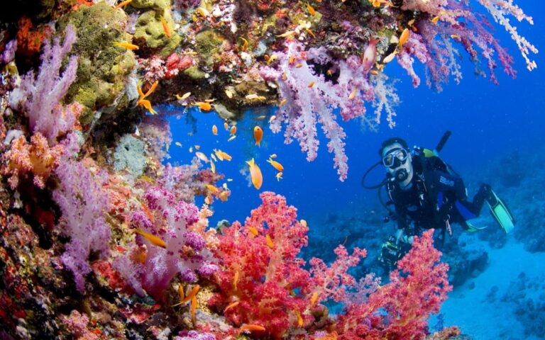
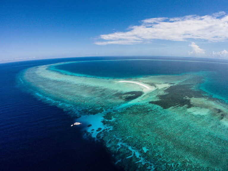
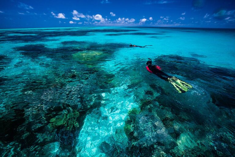
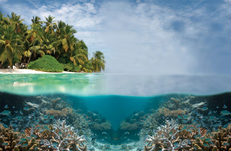
10. Tubbataha Reef
The Tubbataha Natural Park, also known as the Tubbataha Reefs Natural Park (Filipino: Bahurang Tubbataha), is a protected area of the Philippines located in the middle of the Sulu Sea. The marine and bird sanctuary consists of two huge atolls (named the North Atoll and South Atoll) and the smaller Jessie Beazley Reef covering a total area of 97,030 hectares (239,800 acres; 374.6 sq mi). It is located 150 kilometres (93 mi) southeast of Puerto Princesa, the capital of Palawan. The uninhabited islands and reefs are part of the island municipality of Cagayancillo, located roughly 130 kilometers (81 mi) to the northeast of the reef. In December 1993, the UNESCO declared the Tubbataha Reefs National Park as a World Heritage Site as a unique example of an atoll reef with a very high density of marine species; the North Islet serving as a nesting site for birds and marine turtles.